US radar loop
Snow depth
Atlantic satellite
Atlantic Infrared Satellite
US surface map US temperatures US wind currents
http://weather.gov/forecasts/graphical/images/conus/MinT2_conus.png
http://weather.gov/forecasts/graphical/images/conus/MaxT2_conus.png
http://weather.gov/forecasts/graphical/images/conus/PoP121_conus.png
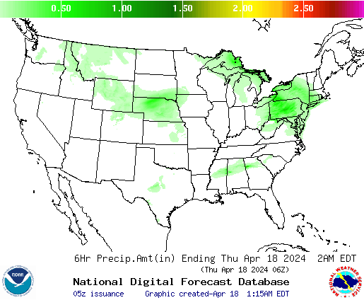
http://weather.gov/forecasts/graphical/images/conus/QPF1_conus.png
http://weather.gov/forecasts/graphical/images/conus/WindSpd1_conus.png
http://images.ibsys.com/sh/images/weather/auto/marine_westhem_640x480.jpg


